
Violet Township ZIP Code Evidence
Postal ZIP codes do not trace the same lines as Violet Township, municipal, school, or parcel geography. The confirmed entries below are intentionally limited to local postal and county mapping evidence. They are practical leads for an address check, not a certified list of every ZIP that may touch the Township. Confirm the full delivery address with USPS before relying on a ZIP code in a property or family-history search.
| ZIP code | Local evidence | Postal city | Careful reading |
|---|---|---|---|
| 43147 | Township headquarters and a Violet/Pickerington parcel use this code | Pickerington | Strong local postal clue, not proof of incorporated-city or Township limits |
| 43110 | An official Auditor example is marked unincorporated / Violet Township | Canal Winchester | Shows a concrete postal-city and Township mismatch |
| 43068, 43105, 43112 | County GIS ZIPCODE research surfaced cross-boundary associations | Reynoldsburg, Baltimore, Carroll | GIS leads only; verify each address with USPS |
The 43147 and 43110 evidence describes real local records, but it does not establish a full postal boundary. The other three codes came from the official GIS address layer and need address-level confirmation. No accessible official USPS source in the research certified an exhaustive Township ZIP roster or a ZIP realignment history.
Note: Use a ZIP code to begin a delivery-address check, not to decide the legal jurisdiction of a Violet Township parcel.
Violet Township ZIP Code Geography
A Pickerington or Canal Winchester postal label can describe an address in Violet Township. The local Auditor example for 43110 is specifically marked UNINCORPORATED / VIOLET TWP, while Township headquarters and another local parcel example use Pickerington 43147. That is why the postal city on an envelope should remain separate from the city or township field on the parcel card. Postal delivery, municipal boundaries, and county assessment geography each have their own purpose.
County jurisdiction material gives another reason to preserve those distinctions. Violet Township sits on the Pickerington, Canal Winchester, and Columbus edge rather than inside one compact municipal label. Parcel, township, legal-description, annexation, and postal records may therefore use different names for the same general area. The most dependable comparison is the individual parcel's City/Township field, situs, legal description, and mapped PIN.
The Fairfield County Census and jurisdiction information page is a county source for the different geographic frames used locally.
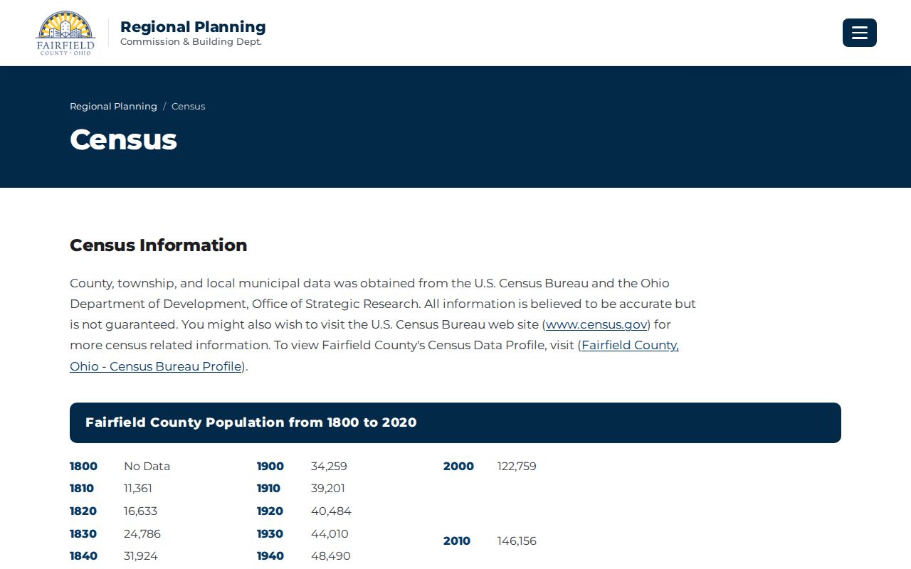
Jurisdictional data can provide local context, but it does not replace a USPS delivery-address result or an Auditor parcel record.
Verify a Violet Township ZIP Code
The USPS ZIP Code Lookup is the first tool for confirming the postal side of a Violet Township ZIP code directory search. It accepts street address with city and state, street address with ZIP, city and state, and a ZIP-to-city request. Run the whole address, including its directional road form and postal city when known. USPS cautions that a ZIP result does not confirm that a particular person or organization is at the address.
| USPS lookup input | Best local use | What it cannot establish |
|---|---|---|
| Street address, city, state | Check a delivery ZIP for a known Violet Township address | Township jurisdiction or a person's presence |
| Street address and ZIP | Test whether the postal pairing is consistent | Parcel ownership or deed history |
| ZIP to city | Check the postal city associated with a code | A complete list of places served by that code |
The USPS lookup screen is the address-level validation route used before county record searches.
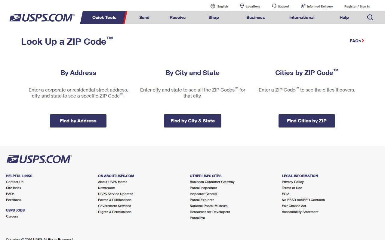
After a postal result is confirmed, use the address and City/Township details in the county systems. A ZIP code alone is not a substitute for the parcel's situs or legal description.
Search Violet Township by ZIP Code
A ZIP code narrows the postal question, then the work shifts to the address and parcel systems. Fairfield County's Auditor advanced form does not offer a ZIP filter. Its City/Township choice, address components, and GIS route are the local alternatives. The process below keeps postal verification distinct from recorded land and assessment facts, which avoids treating an entire ZIP as one jurisdiction or a roster of people.
- Use USPS to validate the complete delivery address and postal-city combination.
- Search the address in the Auditor's advanced form with House #, Direction, Street Name, Street Type, and City/Township when needed.
- Open the parcel card and record the PIN, situs, City/Township label, and legal description.
- Use the GIS address layer's ZIPCODE and PIN fields to compare the mapped address with county geography.
- When a ZIP has narrowed the area to a named road, use the Violet Township street directory for the full address, parcel, and deed route.
County voter tools have their own filters and legal limits. The statewide voter lookup is for an individual's registration, while the Board of Elections Street Range Reporting tool provides street-range and precinct outputs. Neither is a ZIP-wide household search.
Map Violet Township ZIP Code Fields
The Fairfield County GIS is the county-side companion to USPS. Its address-points service carries ZIPCODE as well as city, municipality, alternate street, subdivision, and PIN. Those fields help locate an address in a mapped ZIP area and then connect the result to the proper parcel card. The service supports advanced queries and spatial work, but the county says GIS layers change and are not warranted for every purpose.
| GIS address field | How it helps a ZIP search | Follow-up record |
|---|---|---|
| ZIPCODE | Maps the postal-code attribute carried by an address point | USPS result for the full delivery address |
| City | Shows the mapped city label | Auditor City/Township field |
| Municipality | Helps separate postal and local-government geography | Parcel card and jurisdiction data |
| Alternate street | Supports comparison with an older or varied street form | Road and legal-description research |
| PIN | Links an address point to a parcel | Auditor parcel record |
The official GIS downloads page is the source for the County's parcel, address point, road, subdivision, annexation, and precinct layers.
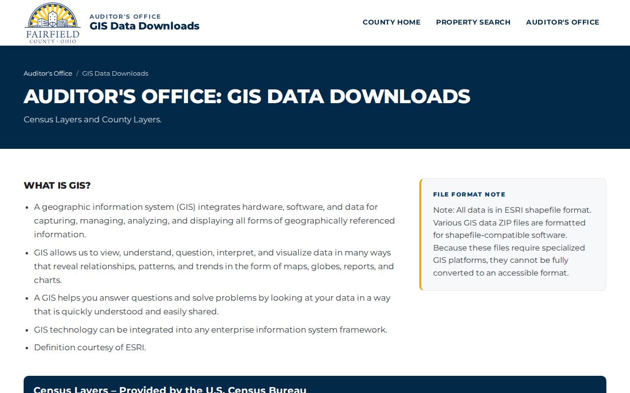
GIS can make the postal-to-parcel comparison more precise, but its ZIPCODE attribute is still not a USPS-certified boundary roster.
Violet Township ZIP Code Auditor Limits
The Fairfield County Auditor advanced search accepts parcel number, owner name, address components, sales criteria, City/Township, tax district, school district, subdivision, and legal description. Its address fields are useful after USPS confirms a delivery address, but its lack of a ZIP field means it cannot provide a ZIP-wide property query. A countywide search should not be presented as if it can filter every Violet Township parcel by postal code.
Use the Auditor card to distinguish the physical situs from the Deeded Owner Address and Tax Payer Address. Mailing details can be different from the parcel and are not proof that a named person is currently at that location. The PIN and legal description are the more stable links when postal labels vary.
Note: The Auditor, GIS, and USPS systems answer different questions, so retain the source and date beside each ZIP-related note.
Violet Township ZIP Code Boundaries
Postal boundaries and local government boundaries overlap but do not match. The 43110 example is the clearest local caution: Canal Winchester is the postal city, while the Auditor record identifies unincorporated Violet Township. Similarly, 43147 is a Pickerington postal label present in Township evidence, not a statement that every address using it is inside incorporated Pickerington. The verified response to a mismatch is to compare USPS, GIS, and the parcel's City/Township field.
- ZIP code
- A postal routing code used to help direct mail and validate a delivery address.
- ZIP+4
- An added four-digit delivery detail used with a ZIP code; it is not a separate local jurisdiction.
- PO Box ZIP
- A postal code associated with box delivery. No Violet Township PO Box-only ZIP was verified in the research.
- Carrier route
- A postal delivery grouping. It does not define township, municipal, or parcel boundaries.
Violet Township ZIP Code History
Older address records need more than a current ZIP code. Fairfield County approved permanent public-road names in 1964 after some roads had carried multiple names, then began issuing and documenting official rural addresses in 1966. A historic deed, index, or atlas may therefore use a former road name or rural description. A modern ZIP result cannot by itself reconcile that older description.
Compare the house number, road type, quadrant, postal town, PIN, subdivision or plat, and legal description. The county road system uses NW, NE, SW, and SE quadrants and generally 1,000 numbers per mile. In Violet Township, Refugee Lands and township-range-section, survey, lot, sublot, or subdivision references may preserve the land identity through a road or postal-label change.
The Fairfield County Engineer address-number request applies to rural and unincorporated Township addressing, while incorporated municipalities may use their own scheme. The form asks for an approved deed, stake, mailing contact, and property description, and says staff will make reasonable efforts within 10 working days. It is an address-assignment process, not a ZIP-boundary lookup. For older records, it reinforces the need to keep the road form and legal land description with the current postal result.
Keep Violet Township ZIP Code Notes Calibrated
The confirmed local evidence supports 43147 and 43110 as useful Violet Township postal clues, while 43068, 43105, and 43112 remain GIS-supported leads. It does not support an exhaustive claim about all ZIP coverage, population totals by ZIP, a historic ZIP split, or a certified postal boundary map. Address-level verification is the appropriate next step whenever the record matters.
Postal geography is most useful when it helps match a document to the correct county address and parcel. Keep the delivery result, mapped PIN, and parcel jurisdiction together, and avoid turning a ZIP code into a claim about who is at an address.