
Trace a Violet Township Street
For a Violet Township street directory search, begin with the exact property address in the Fairfield County Auditor advanced search. The resulting parcel card supplies a permanent parcel number, called a PIN, plus the situs and legal description. Those details make it possible to distinguish similarly named roads and lots as the search moves into mapping and conveyance records. A recorded owner is a property fact. It is not a claim that every person associated with the address currently lives there.
Keep a short research log as each result opens. Record the component address used, PIN, current owner field, legal description, and any sale or permit reference. That small set of facts is more reliable than a loose street-name search, especially where a Violet Township parcel uses a Pickerington or Canal Winchester postal label.
- Enter the house number, direction, street name, and street type in the Auditor form. Add City/Township or subdivision only when needed to narrow similar results.
- Open the parcel card and save the PIN, situs, legal description, and current recorded-owner field. Compare the situs with the separate mailing blocks before drawing any conclusion.
- Use the county GIS parcel and address layers to place that PIN on the right segment of the street and identify the recorded subdivision or lot geography.
- Use the owner and legal description to locate the acquisition in the Recorder's AVA index, then follow the grantor and grantee entries backward through the deed chain.
- For an individual registration question, use Ohio's voter lookup or contact the Board of Elections. Historic directories can add dated address clues, but neither source proves a complete household.
Note: A street result is strongest when the parcel, legal description, and dated deed evidence point to the same land.
Enter Violet Township Addresses Precisely
The Auditor form has address components rather than one required street field. All of them are optional, so a search can start broad and then add the direction or street type that separates a match from a near match. Its location filters include City/Township, tax district, school district, neighborhoods or subdivisions, and legal description. The form has no ZIP field. That matters when a postal city name does not match the property jurisdiction.
The current Auditor real-estate search is the county's practical entry point for a Violet Township street directory. It also accepts an owner name in Last First order or a parcel number. Use a narrow combination when the road has repeated names, but avoid guessing an abbreviated direction or type. A failed result can simply mean the components do not match the county's stored form.
| Auditor field | Use on a street search | Format or limit |
|---|---|---|
| House # | Starts a component-address search | Optional text field |
| Direction (Abbv) | Separates directional road forms | Use the abbreviated direction |
| Street Name | Finds the named road | Optional text field |
| Street Type (Abbv) | Distinguishes road types | Use the abbreviated type |
| City / Township | Narrows a countywide result to local geography | Optional select field |
| Legal Description | Helps resolve an older or ambiguous address | Optional text field |
Note: The Auditor data are processed on a changing schedule, so check the parcel card and original recorded document when a detail matters.
Read Violet Township Parcel Clues
A parcel card separates the physical situs from the Deeded Owner Address and Tax Payer Address. The situs is the location of the parcel. The other two blocks are mailing details connected with ownership or taxation and can differ from the property. They are useful dated clues, not evidence of every person who uses the address. The card also brings together the city or township label, school district, legal acres, land use, valuations, sales, improvements, taxes, and correction links.
The permits tab is also worth reading before a Violet Township street directory claim is made. It can show a permit date, number, purpose, status, and amount. That is evidence of a recorded permit event, not a full copy of the Township building file.
| PIN / parcel number | County identifier connecting the card, GIS layers, and land records. |
|---|---|
| Situs | Physical parcel address used to orient the street search. |
| Legal description | Land description used to compare a parcel across deeds, plats, and address changes. |
| Sale fields | Dates, parties, deed type, book or page references, and transfer details shown on the assessment record. |
| Permit fields | Date, number, purpose, status, and amount shown on the Auditor card. |
Map Violet Township Streets and Parcels
The Fairfield County GIS makes the street-directory route geographic. Its published layers include parcels, address points, roads, subdivisions, annexations, township boundaries, and voting precincts. The address service exposes street components, alternate streets, city, municipality, subdivision, ZIPCODE, and PIN. Pair the PIN with the Auditor card rather than treating a mapped label as a final answer. County GIS warns that its layers change and are not warranted for every use.
The Auditor GIS viewer entry shows the map environment reached from parcel records.

Use the viewer to confirm a parcel's position among road, subdivision, and adjoining parcel geometry before moving to a deed reference.
The official GIS Address Points layer documents the fields available for an address-led Violet Township street directory search.
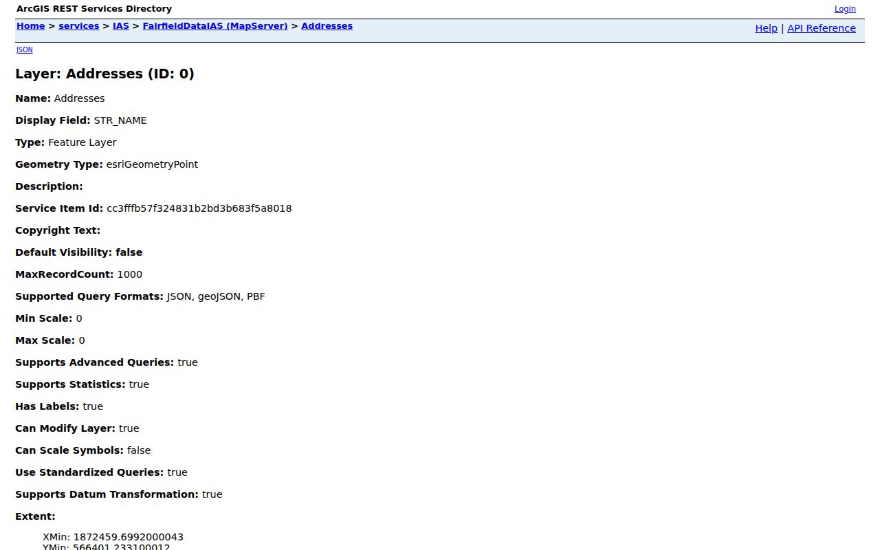
ZIPCODE can help describe map data, while the PIN is the more dependable bridge from the layer to a parcel record.
Violet Township Street Directory Records
Several public records can be keyed to an address or parcel, but they answer different questions. The Auditor establishes the current assessment record. GIS positions the parcel and related geography. Recorder records carry the land-transfer trail. Township building files may add project detail when requested with an exact address or permit reference. Election records have a narrower role: the statewide lookup is an individual confirmation tool, while the County's Street Range Reporting tool provides street-range and precinct reporting rather than a household list.
| Address record | Custodian | Useful result | Access and boundary |
|---|---|---|---|
| Assessment parcel card | Fairfield County Auditor | Owner field, situs, legal description, sales, and permit event | Public portal; no ZIP filter and no full occupant list |
| Parcel and address mapping | Fairfield County GIS | PIN, parcel shape, road, subdivision, ZIP and city attributes | Map or service query; verify changing data |
| Deed and plat index | Fairfield County Recorder | Parties, instrument, legal land description, book and page | AVA and counter; party index is not residence proof |
| Building or zoning file | Violet Township Building & Zoning | Project or inspection record tied to an address | Request route; no searchable Township portal found |
| Street-range report | Fairfield County Board of Elections | Street ranges and precinct filters | PDF or CSV report, not a general person roster |
Historic address clues may also appear in regional directories or phone books held through the Pickerington-Violet Township Historical Society and library channels. Coverage for a Violet-specific criss-cross run was not verified online, so an old address clue should be paired with land records rather than treated as complete.
Follow Violet Township Deed Routes
Once a current parcel has supplied an owner field and legal description, use the Fairfield Recorder AVA search for the acquisition instrument and then move through the party indexes. Ohio Revised Code Section 317.18 requires direct grantor and reverse grantee indexes. In practical terms, a grantee is the person receiving an interest and a grantor is the person transferring it. The legal description, plat, lot, or parcel reference is what keeps the chain attached to the same land.
AVA reports an index from 1800 to the present and online document images from January 1980. For 1800 through 1979, the old-index procedure uses document type INDEX, the first letter of a surname, key pages, and GR or GE navigation. A displayed recorded date for an index-book item can be a placeholder, so read the underlying entry and ask the Recorder about a document or older retrieval when needed.
The Ohio recorder-index requirement is the source behind this direct-and-reverse search structure.
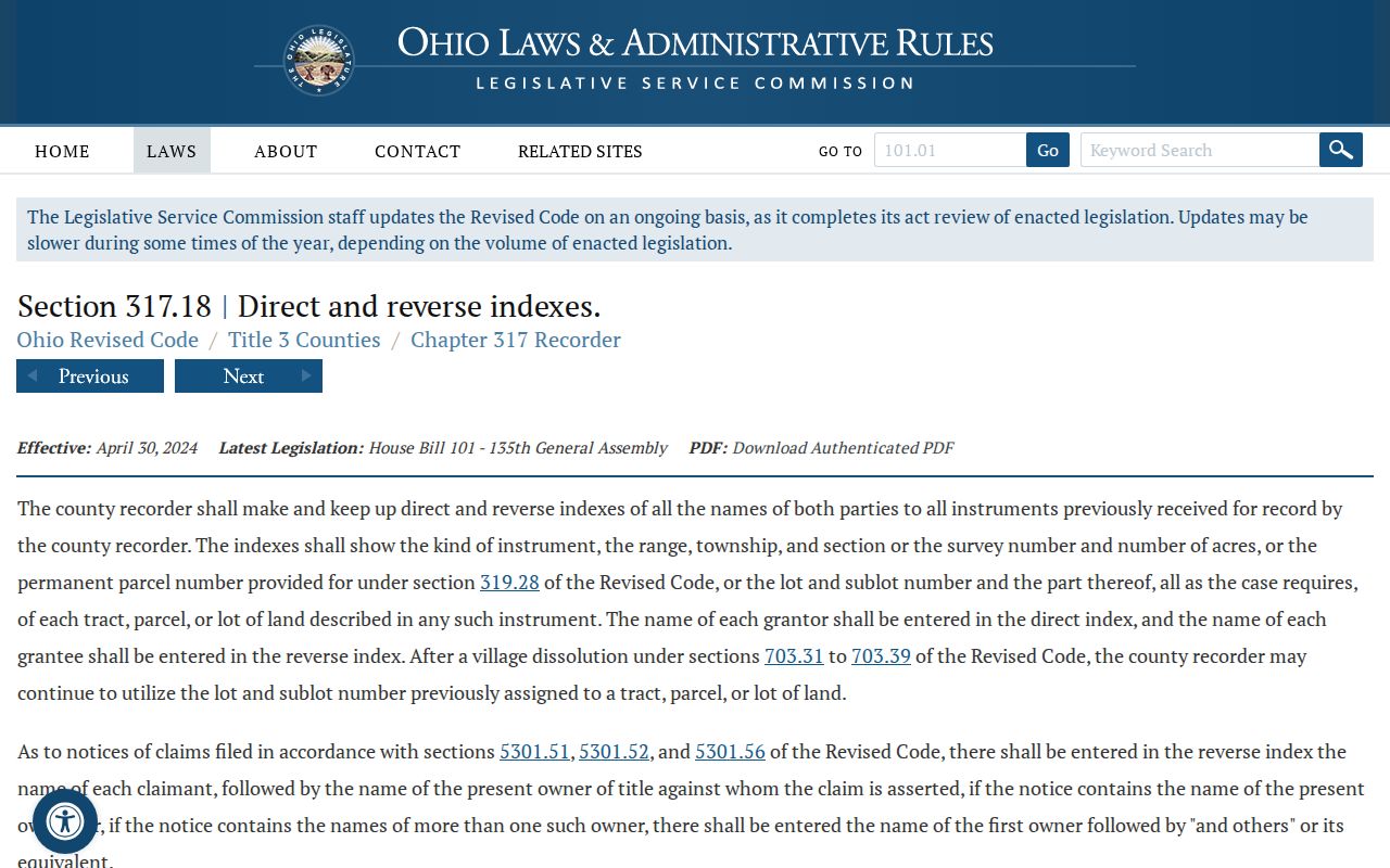
The index can establish a recorded land transaction path, but it does not prove a party's current residence. The Recorder is at 210 E. Main Street, Suite 205, Lancaster, and can be reached at 740-652-7100 during Monday through Friday hours of 8 a.m. to 4 p.m.
- Parcel
- A county-identified piece of land, linked by a PIN or parcel number.
- Situs address
- The physical address assigned to that parcel, distinct from an owner's mailing address.
- Plat
- A recorded map or subdivision plan that helps identify a lot when road labels change.
- Criss-cross directory
- A reverse-style directory arranged by address instead of by name; no Violet-specific online run was verified.
Violet Township Address Permit Files
Violet Township has its own Building & Zoning function. The Township's Building and Zoning FAQ identifies Building & Zoning at 614-575-5558, inspections at 614-575-5559, and permitting@violet.oh.us. The Auditor permit tab is a useful pointer because its date, number, purpose, status, and amount can make a request more precise. No public Township permit or code-case search was found, so ask for the particular address, permit number, date, or file instead of expecting an online directory.
The Township FAQ documents the local permit route for a Violet Township address.
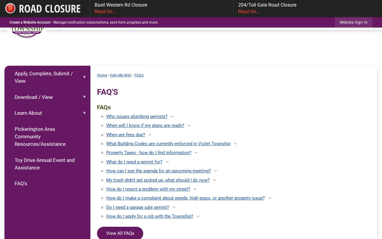
Fairfield County Building Department expressly excludes Violet Township, so a county building-file request is not the proper first route for ordinary Township building records.
The County Engineer address-number request form shows the county's rural and unincorporated addressing process.
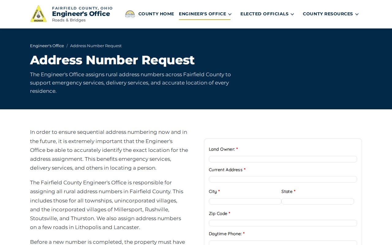
That form requires an approved deed, stake, mailing contact, and property description, and it says staff will make reasonable efforts within 10 working days.
Violet Township Street Names Change
Road history is a practical part of a Violet Township street directory search. County Commissioners approved permanent public-road names in 1964 after some roads had as many as six names. Fairfield County began issuing and documenting official rural addresses in 1966. An old deed, index, or atlas can therefore use an earlier road name or rural description even when it identifies the same land.
Normalize the house number, road type, quadrant, postal town, and legal description before deciding that two records conflict. The county system uses NW, NE, SW, and SE quadrants, generally at 1,000 numbers per mile, with subdivision numbering applied after a plat is recorded. Violet's northern twelve sections are in the Refugee Lands, so township, range, section, survey, lot, sublot, or plat references can carry an older record across a modern street-name change.
Note: A changed postal label or municipal notation can reflect geography rather than a move by the people named in a record.
Use Violet Township Street Reports Carefully
The Ohio voter lookup asks for first name, last name, and county, then may ask the user to select a street. It is designed to confirm an individual's registration and precinct, not to display everyone on a road. A name variation or prior address can help when a person does not appear, and the Fairfield County Board of Elections is the appropriate follow-up route for a registration question.
Fairfield County's Street Range Reporting can produce PDF or CSV outputs with street, precinct, district, and polling-place filters, including Violet precinct choices. It reports ranges and election geography. It should not be described as a household roster. Protected registrations and restricted fields remain outside public release.
Violet Township Street Directory Limits
A street and parcel search cannot establish every person at an address, all household members, a private utility account, DMV residence information, or Safe at Home and protected-voter information. A deed party, tax mailing block, or voter result each has its own purpose and date. When an older record needs official confirmation, Ohio's Public Records Act, Ohio Revised Code Section 149.43, is a request fallback for responsive nonexempt records during regular business hours.
For one person rather than a whole road, the Violet Township resident lookup follows a different, name-centered route. Street results remain most useful when they are limited to the precise property or recorded transaction they actually describe.